


Martha's Vineyard Nautical Chart
$129.00
- Some frame styles may not accommodate certain sizes. If you see a size is "Unavailable" then try another frame type or size. For larger print sizes select "Gallery Wrap Canvas" as the frame type!
- To get a better view, click on a picture on the left to be able to zoom in and view the gallery.
- US Shipping is already included in all prices so no hidden fees during checkout!
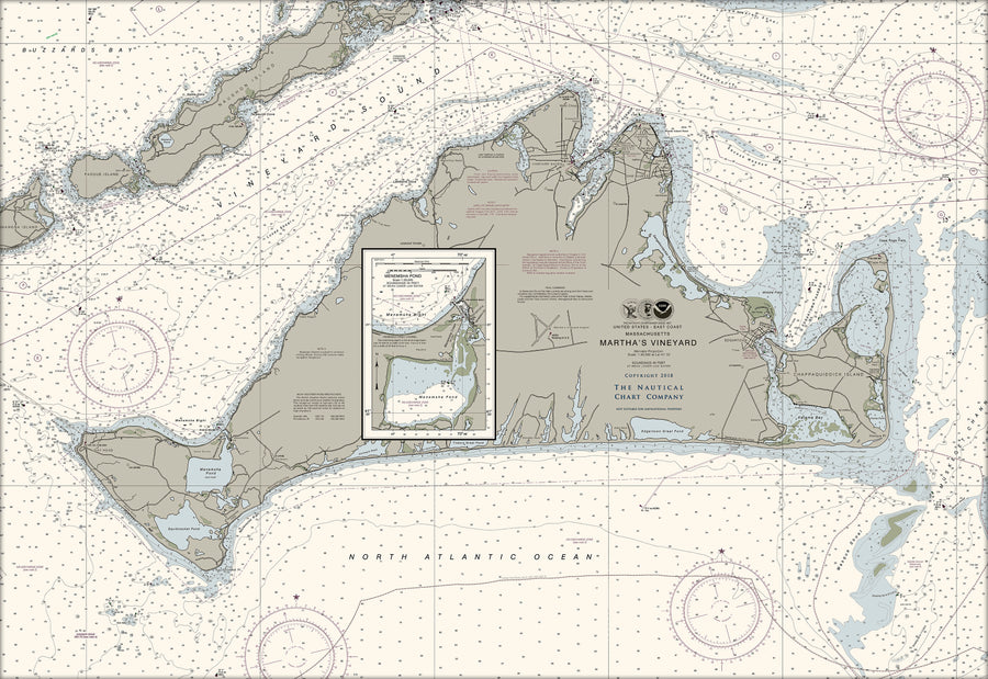
Martha's Vineyard, often simply called the Vineyard,[2] is an island in the Northeastern United States, located south of Cape Cod in Dukes County, Massachusetts, known for being a popular, affluent summer colony. Martha's Vineyard includes the smaller adjacent Chappaquiddick Island, which is usually connected to the Vineyard. The two islands have sometimes been separated by storms and hurricanes, which last occurred from 2007 to 2015.[3][4] It is the 58th largest island in the U.S., with a land area of about 96 square miles (250 km2),[5] and the third-largest on the East Coast, after Long Island and Mount Desert Island. Martha's Vineyard constitutes the bulk of Dukes County, which also includes the Elizabeth Islands and the island of Nomans Land.
- Multiple sizes available
- Either printed on photo paper in a traditional frame
- Or printed on art canvas and stretched around a gallery wrap frame
- Will not fade or discolor and ready to hang
- Proudly made in the USA!