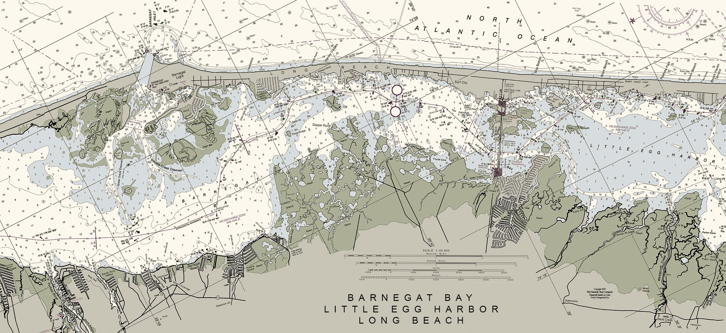


Long Beach, Little Egg Inlet, Barnegat Bay Nautical Chart
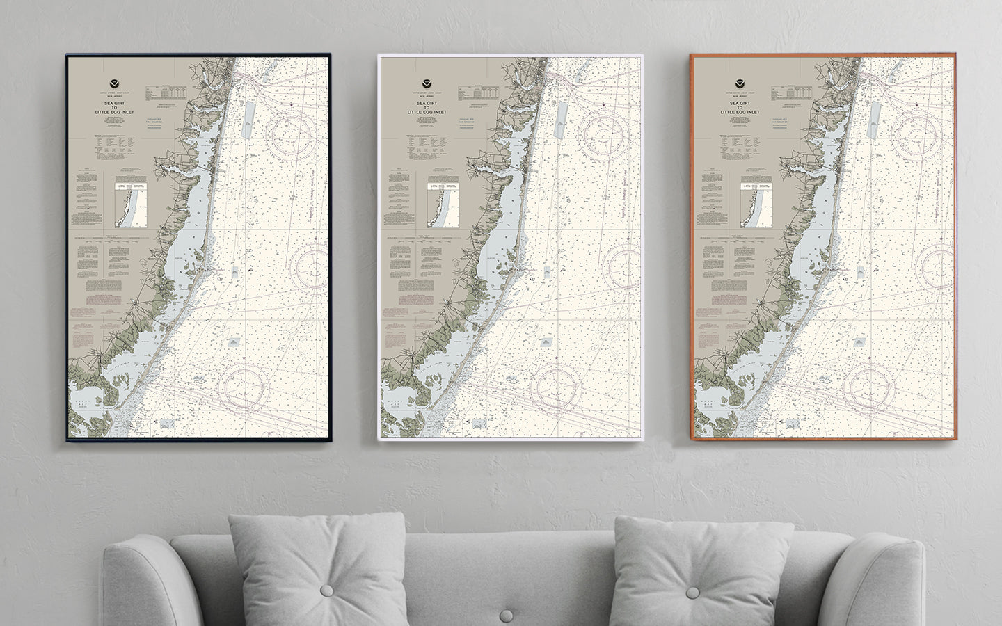
- Some frame styles may not accommodate certain sizes. If you see a size is "Unavailable" then try another frame type or size. For larger print sizes select "Gallery Wrap Canvas" as the frame type!
- To get a better view, click on a picture on the left to be able to zoom in and view the gallery.
- US Shipping is already included in all prices so no hidden fees during checkout!
Long Beach Island connects to the mainland to the island at Ship Bottom at its sole access point for road vehicles to the mainland over Manahawkin Bay. This results in the division of the island into a northern portion and a southern portion. From the bridge northward, the island includes the communities of Surf City, North Beach (a section of Long Beach Township), Harvey Cedars, Loveladies (a section of Long Beach Township), High Bar Harbor (the northernmost section of Long Beach Township), and Barnegat Light. From the bridge southward, the island includes the communities of Ship Bottom, Brant Beach, Long Beach Township (including the census-designated place of North Beach Haven), and Beach Haven, with the Holgate section of Long Beach Township at the southernmost tip of the island.
- Multiple sizes available
- Either printed on photo paper in a traditional frame
- Or printed on art canvas and stretched around a gallery wrap frame
- Will not fade or discolor and ready to hang
- Proudly made in the USA!